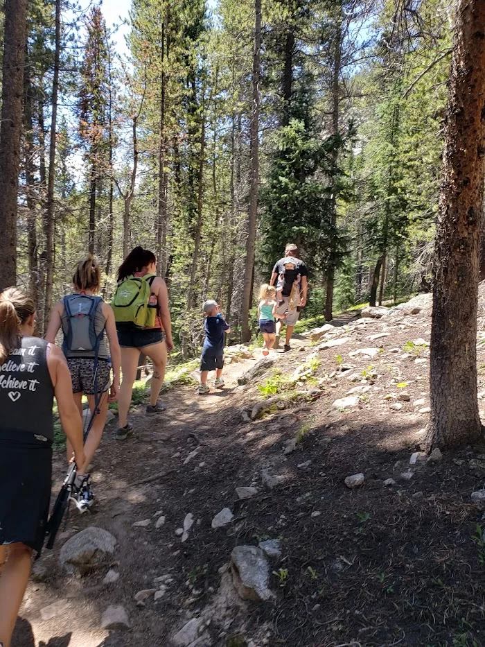
Waterdog Lakes
Website:
Opening Hours:
Address: Waterdog Lakes, Colorado 81201, USA
Contact Number:
Mobile phone:
Email:
Location
Customer Reviews
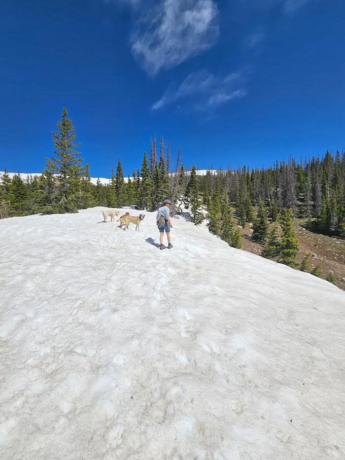
Don't forget your bug spray, otherwise beautiful hike, a little steep to start with and rocky low down. Some snow banks up high in mid June still.
Absolutely beautiful trail. This trail is appropriately leveled as moderate. Gaining about 1,000 feet over the 3.2 miles, parts of the trail are steeper than others, but nothing too difficult. The path to the lake is very clearly marked. Once at the lake, be prepared for gorgeous views and serenity. On a Monday afternoon we saw about 4 other people on the trail. Parking is easily accessible off the road.
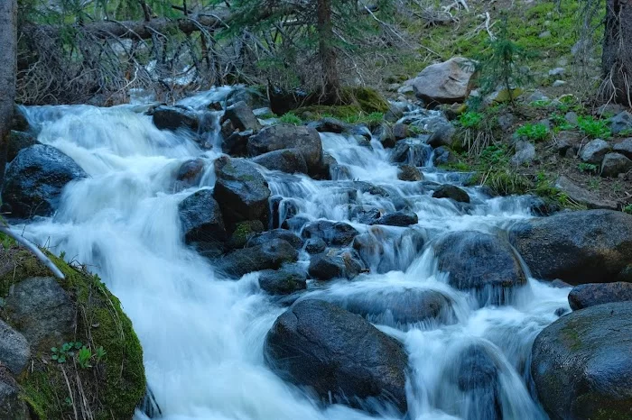
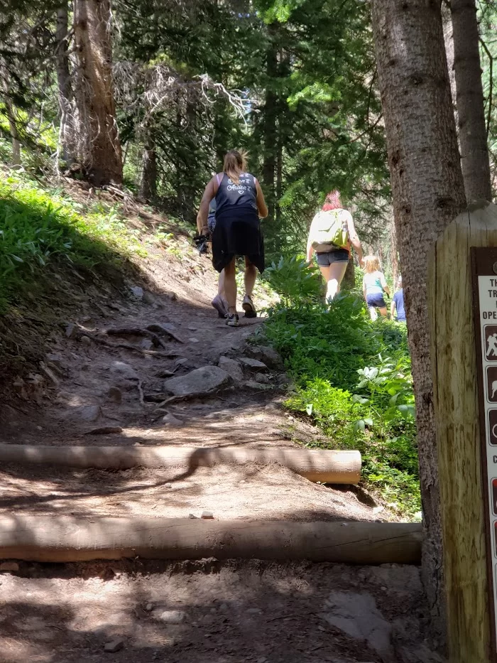
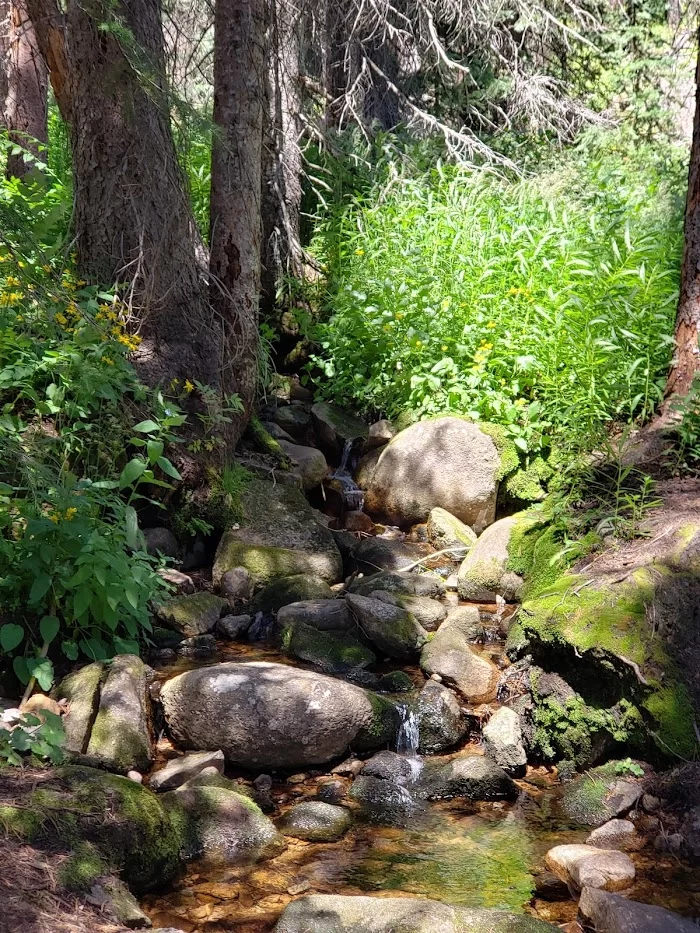
Fun little trail! The trail is steep most of the way so it's a little challenging, but the views at the top are gorgeous. It's not too long-- only 3 miles RT-- so it's pretty easily accessible to people going fishing (which the lake is great for). Just make sure you get there before evening because sunlight is quickly lost with the mountains. Also grab a decent pair of shoes for the multiple little creeks that run across the trail. And, you might want something to get the bugs off. Tis a fantastic trail, and I'd definitely recommend it for a fun short hike or some serene fishing!
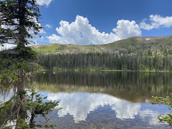
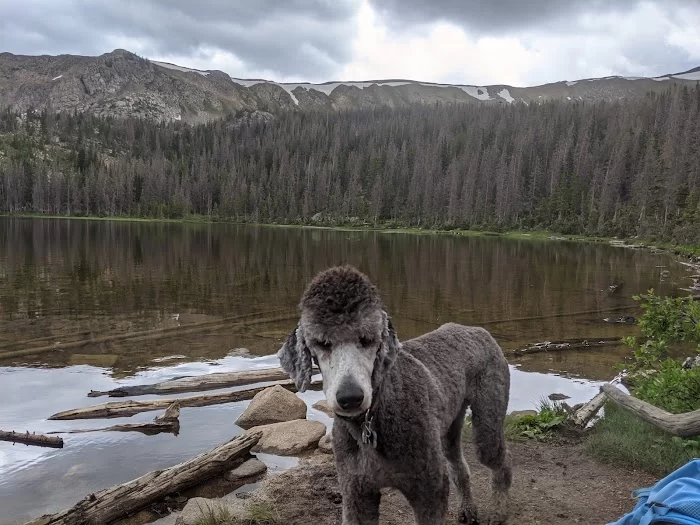
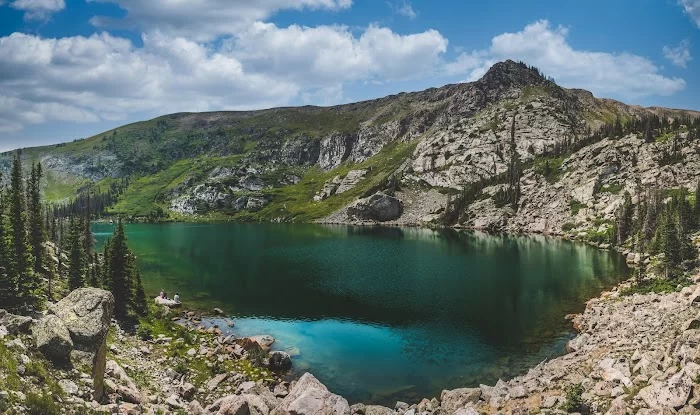
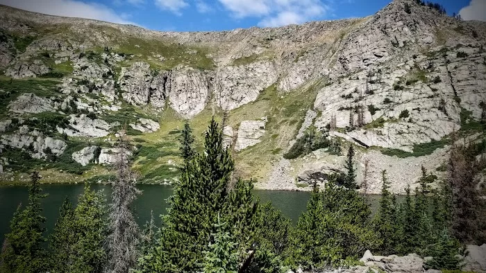
It's my favorite backpacking location since I was a child. My first time here was in 1992, when I was a kid in Royal Rangers (which is like Boy Scouts). I used to try to make it annually, but I just don't have the time anymore. I've had so many great memories on the trail & at the lakes. Beautiful nights under the stars, as they reflect off of the glassy water. The bigger lake backs right up to a steep mountain face, which dives straight down from the continental divide into the lake. I have only been to the lakes in the summer. Def recommend!
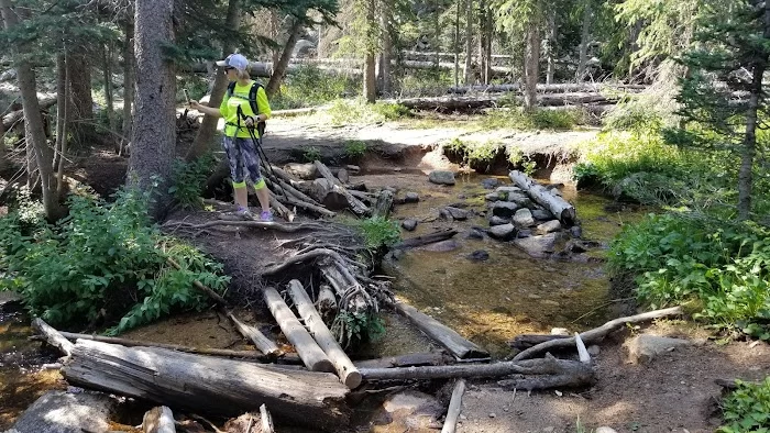
A fairly short but strenuous hike that offers good views from the two lakes at the top. The hike starts around 10k feet and continues to well over 11k. Be sure to wear good hiking shoes, as much of the upper trail is steep and sandy with lose rocks. There is also a stream crossing about a mile from the trailhead that could be a little challenging in late spring/early summer during runoff.
Popular Destination
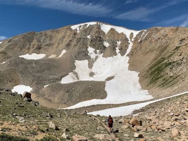
Bald Mountain
Bald Mountain, Colorado 81201, USA
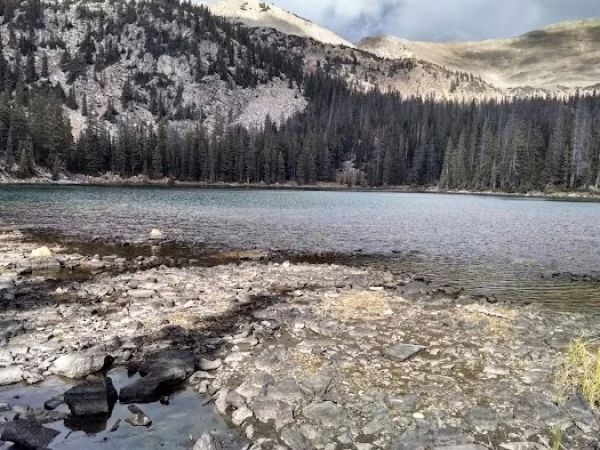
Hunt Lake
Hunt Lake, Colorado 81201, USA
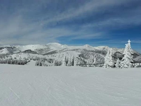
Original Monarch Pass
Original Monarch Pass, Colorado 81201, USA
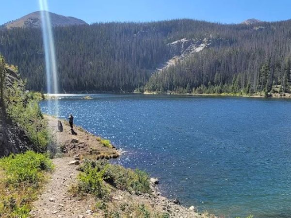
Boss Lake Reservoir
Boss Lake Reservoir, Colorado 81201, USA
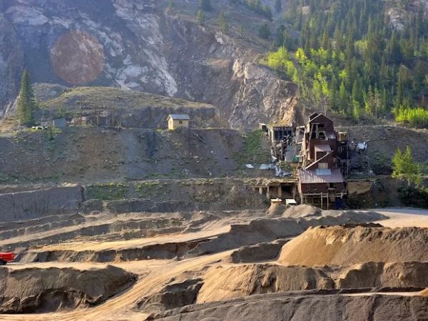
Oshkosh Mine
Oshkosh Mine, Colorado 81201, USA
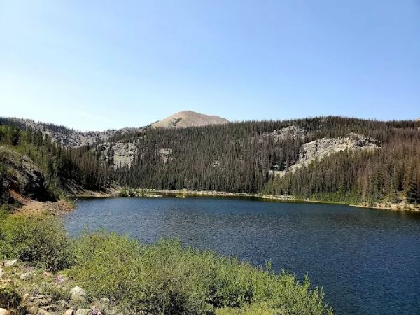
Boss Lady Reservoir
Boss Lady Reservoir, Colorado 81201, USA

